The cutting-edge
State-of-the-art
Modern technology
Geospatial products
Orbital Products
Orbital offers wide range of simple but accurate products employing modern geospatial technology.
Geospatial Software
We offer wide range of GIS, AutoCAD, drone, remote sensing and photogrammetry software.
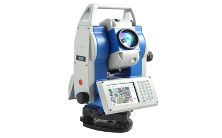
Survey Equipment
The survey equipment include the GNSS, level machines, total stations, 3D scanners etc.
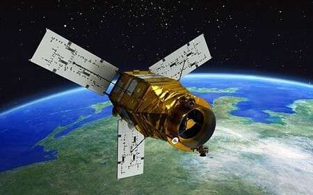
Satellite Images
Imagery products include: Pléiades, GeoEye, Maxar, Worldview, QuickBird, KOMPSAT etc.
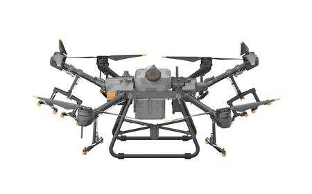
UAS & UAV Systems
Our global partners include The DJI, AgEagle, Wingtra and Quantum Systems among others.
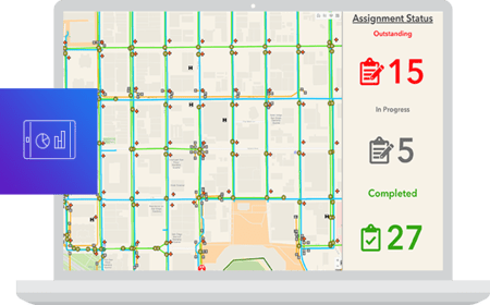
GIS Mobile Apps
We design, develop, deploy, demonstrate and deliver (5Ds) GIS data collection apps
Drone Images
The offer 5cm drone images for major cities and towns in Kenya and across Africa.
Need more details or a quote? get in touch!
Orbital ranks among the best companies in Africa offering reliable geo-products which are user friendly, flexible and available at competitive price in the market.

